Ghost Towns in West Virginia
On the map
123 ghost towns
17% sit on public land · 11 with a free-licensed photo
- National Forest 1
- National Park Service 12
- Other federal 6
- State 2
- Private or unlisted 102

The largest share, 102 of 123, sits on land missing from the public lands database, which usually means private property: look from the road unless the owner says otherwise. Each town page has the land manager, monthly weather and the nearest open town.
- National Forest 1
- National Park Service 12
- Other federal 6
- State 2
- Private or unlisted 102
Each dot is a ghost town, colored by who manages the land at its location. Labels mark the most searched. Live map: © OpenFreeMap, OpenMapTiles, OpenStreetMap contributors.
Most searched in West Virginia
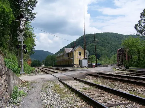 ThurmondFayette County
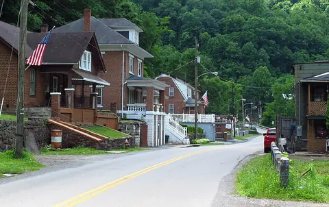 AlgomaMcDowell County
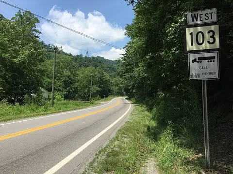 Black WolfMcDowell County
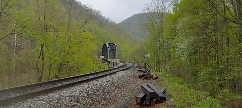 ElvertonFayette County
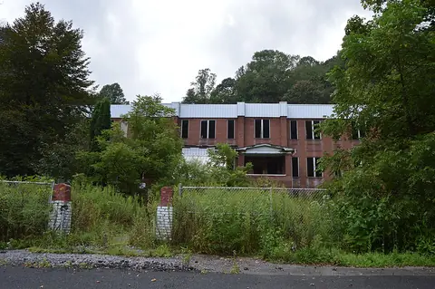 EnnisMcDowell County
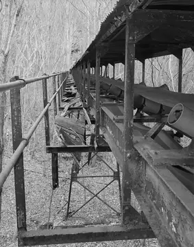 Kay MoorFayette County
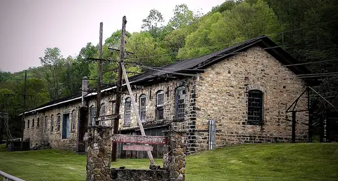 LaylandFayette County
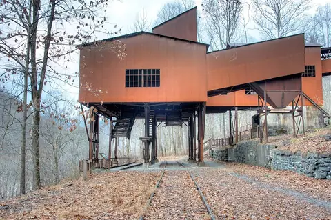 Nuttallburg Coal Mining Complex and Town Historic DistrictFayette County
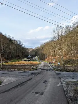 ReamMcDowell County
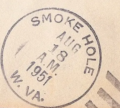 Smoke HolePendleton County
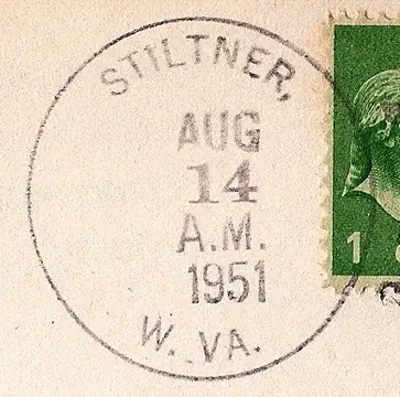 StiltnerWayne County
- IllustrationAlum SpringsGreenbrier County
All 123 by county
Braxton County 1
Calhoun County 1
Fayette County 57
- Ames
- Bachman
- Beury
- Boone
- Brooklyn
- Caperton
- Carbondale
- Carlisle
- Carver
- Concho
- Crescent
- Cunard
- Dimmock
- Dunloup
- Eagle
- Elvertonphoto
- Erskine
- Fayette
- Fire Creek
- Gamoca
- Gaymont
- Glade
- Greenwood
- Harewood
- Hawks Nest
- Honeydew
- Ingram Branch
- Kay Moorphoto
- Kilsyth
- Kingston
- Landisburg
- Laylandphoto
- Long Branch
- Lookout
- Mahan
- Marting
- McDunn
- Meadow Fork
- Michigan
- Milburn
- Newlyn
- Nuttallburg
- Nuttallburg Coal Mining Complex and Town Historic Districtphoto
- Old Gauley
- Pennbrook
- Red Ash
- Rush Run
- Sewell
- Sun
- Thurmondphoto
- Turkey Knob
- Vanetta
- Westerly
- Whitney
- Willis Branch
- Winona
- Wyndal
Greenbrier County 8
Jackson County 2
Kanawha County 1
Logan County 1
McDowell County 18
Mercer County 2
Mingo County 5
Nicholas County 1
Ohio County 1
Pendleton County 1
- Smoke Holephoto
Pocahontas County 4
Raleigh County 6
Randolph County 1
Summers County 6
Taylor County 1
Tucker County 2
Wayne County 1
- Stiltnerphoto
Webster County 1
Wood County 1
Wyoming County 1
Other states
- Alabama 51
- Alaska 36
- Arizona 119
- Arkansas 51
- California 240
- Colorado 141
- Connecticut 6
- Delaware 9
- Florida 111
- Georgia 82
- Hawaii 12
- Idaho 29
- Illinois 57
- Indiana 75
- Iowa 44
- Kansas 263
- Kentucky 19
- Louisiana 36
- Maine 4
- Maryland 22
- Massachusetts 11
- Michigan 36
- Minnesota 74
- Mississippi 83
- Missouri 306
- Montana 77
- Nebraska 66
- Nevada 216
- New Hampshire 4
- New Jersey 19
- New Mexico 69
- New York 8
- North Carolina 14
- North Dakota 37
- Ohio 59
- Oklahoma 108
- Oregon 165
- Pennsylvania 50
- Rhode Island 1
- South Carolina 18
- South Dakota 70
- Tennessee 18
- Texas 429
- Utah 137
- Vermont 2
- Virginia 17
- Washington 126
- Wisconsin 99
- Wyoming 32