Ghost Towns in Illinois
On the map
57 ghost towns
11% sit on public land · 3 with a free-licensed photo
- Other federal 1
- State 3
- Land trust 1
- Military, DOE 1
- Private or unlisted 51

The largest share, 51 of 57, sits on land missing from the public lands database, which usually means private property: look from the road unless the owner says otherwise. Each town page has the land manager, monthly weather and the nearest open town.
- Other federal 1
- State 3
- Land trust 1
- Military, DOE 1
- Private or unlisted 51
Each dot is a ghost town, colored by who manages the land at its location. Labels mark the most searched. Live map: © OpenFreeMap, OpenMapTiles, OpenStreetMap contributors.
Most searched in Illinois
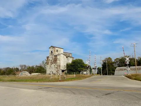 CayugaLivingston County
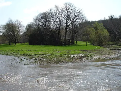 MillvilleJo Daviess County
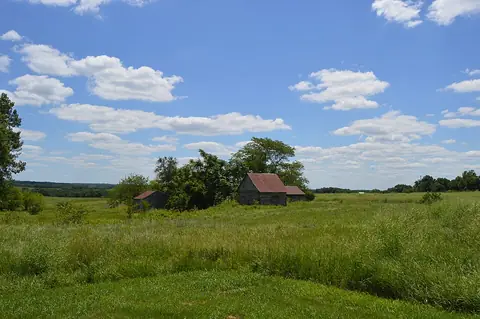 New Philadelphia National Historic SitePike County
- IllustrationAppletonKnox County
- IllustrationBarrMacoupin County
- IllustrationBenjaminvilleMcLean County
- IllustrationBethelClay County
- IllustrationBourbonaisBureau County
- IllustrationBrownsvilleJackson County
- IllustrationBrush PointDeKalb County
- IllustrationBybeeFulton County
- IllustrationCardiffLivingston County
All 57 by county
Alexander County 1
Bond County 1
Boone County 1
Brown County 2
Bureau County 1
Carroll County 1
Cass County 2
Clark County 1
Clay County 1
Clinton County 1
Coles County 1
Cook County 2
Crawford County 1
DeKalb County 2
Douglas County 1
DuPage County 2
Edwards County 4
Fulton County 6
Henry County 1
Jackson County 1
Jo Daviess County 1
- Millvillephoto
Johnson County 1
Kankakee County 1
Knox County 1
Lake County 1
Livingston County 2
Macoupin County 2
McDonough County 1
McLean County 3
Pike County 3
Pulaski County 1
Saline County 1
Wabash County 1
Will County 1
Williamson County 4
Other states
- Alabama 51
- Alaska 36
- Arizona 119
- Arkansas 51
- California 240
- Colorado 141
- Connecticut 6
- Delaware 9
- Florida 111
- Georgia 82
- Hawaii 12
- Idaho 29
- Indiana 75
- Iowa 44
- Kansas 263
- Kentucky 19
- Louisiana 36
- Maine 4
- Maryland 22
- Massachusetts 11
- Michigan 36
- Minnesota 74
- Mississippi 83
- Missouri 306
- Montana 77
- Nebraska 66
- Nevada 216
- New Hampshire 4
- New Jersey 19
- New Mexico 69
- New York 8
- North Carolina 14
- North Dakota 37
- Ohio 59
- Oklahoma 108
- Oregon 165
- Pennsylvania 50
- Rhode Island 1
- South Carolina 18
- South Dakota 70
- Tennessee 18
- Texas 429
- Utah 137
- Vermont 2
- Virginia 17
- Washington 126
- West Virginia 123
- Wisconsin 99
- Wyoming 32