Ghost Towns Map of the USA
3,881 abandoned towns in 50 states. Each one shows who owns the land under the ruins and which months are mild. We also give the distance to the nearest town with fuel.
571 on public land open to visitors812 with a free-licensed photo
Every ghost town, colored by who owns the land
- BLM 170
- National Forest 147
- National Park Service 78
- Other federal 50
- State 150
- City, county 46
- Land trust 6
- Tribal 39
- Military, DOE 34
- Private or unlisted 3,148
- Unknown 13
Each dot is a ghost town. Color shows the land manager at its location, from PAD-US. Alaska and Hawaii are not to scale. Live map: © OpenFreeMap, OpenMapTiles, OpenStreetMap contributors.
Most searched
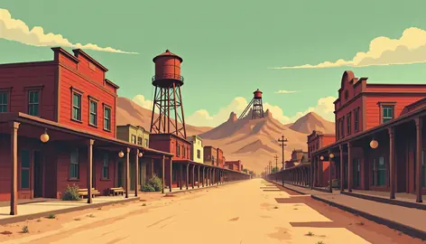
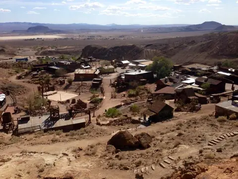 CalicoCalifornia
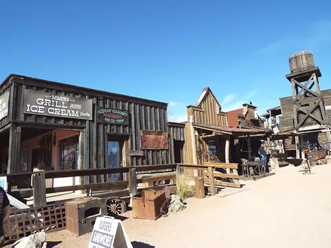 Goldfield Ghost TownArizona
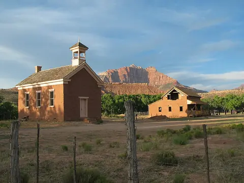 GraftonUtah
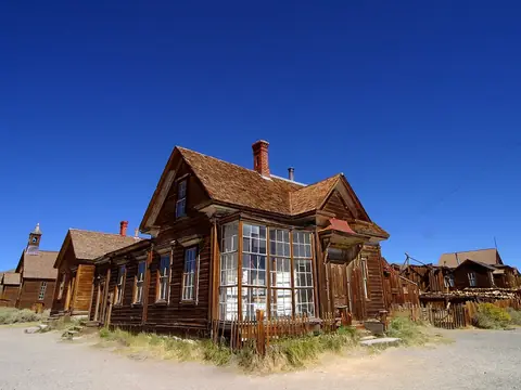 BodieCalifornia
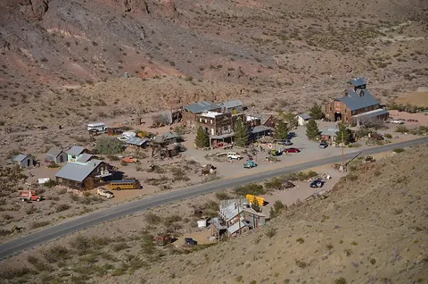 NelsonNevada
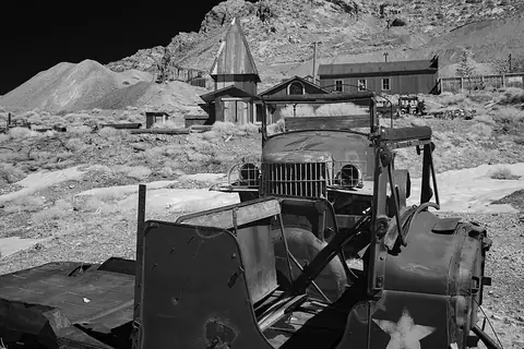 Cerro GordoCalifornia
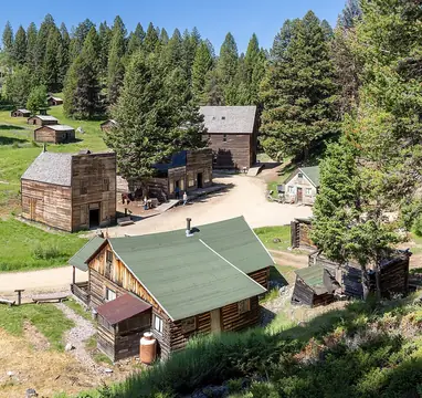 GarnetMontana
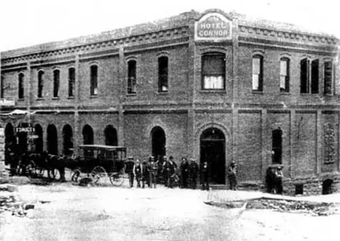 JeromeArizona
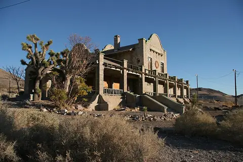 RhyoliteNevada
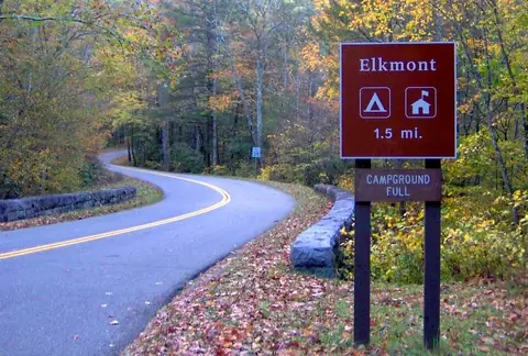 ElkmontTennessee
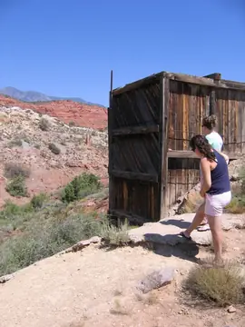 Silver ReefUtah
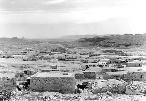 TerlinguaTexas
Ghost towns by state
- Alabama51
- Alaska36
- Arizona119
- Arkansas51
- California240
- Colorado141
- Connecticut6
- Delaware9
- Florida111
- Georgia82
- Hawaii12
- Idaho29
- Illinois57
- Indiana75
- Iowa44
- Kansas263
- Kentucky19
- Louisiana36
- Maine4
- Maryland22
- Massachusetts11
- Michigan36
- Minnesota74
- Mississippi83
- Missouri306
- Montana77
- Nebraska66
- Nevada216
- New Hampshire4
- New Jersey19
- New Mexico69
- New York8
- North Carolina14
- North Dakota37
- Ohio59
- Oklahoma108
- Oregon165
- Pennsylvania50
- Rhode Island1
- South Carolina18
- South Dakota70
- Tennessee18
- Texas429
- Utah137
- Vermont2
- Virginia17
- Washington126
- West Virginia123
- Wisconsin99
- Wyoming32
Near a city
- Las Vegas, NV 62
- Phoenix, AZ 43
- Sedona, AZ 35
- Reno, NV 68
- Tucson, AZ 50
- Denver, CO 65
- Missoula, MT 19
- Salt Lake City, UT 74
- Albuquerque, NM 12
- Flagstaff, AZ 29
- Los Angeles, CA 27
- San Antonio, TX 85
- Austin, TX 128
- Colorado Springs, CO 68
- Sacramento, CA 77
- Helena, MT 33
- Bozeman, MT 33
- Moab, UT 26
- St. George, UT 45
- Boise, ID 21
- El Paso, TX 19
- Dallas, TX 72
- Houston, TX 50
- Fort Worth, TX 80
- Portland, OR 88
- Seattle, WA 53
- Spokane, WA 34
- San Diego, CA 18
- Bakersfield, CA 44
- Fresno, CA 49
- Santa Fe, NM 18
- Las Cruces, NM 25
- Billings, MT 22
- Butte, MT 35
- Cheyenne, WY 33
- Rapid City, SD 57
- Oklahoma City, OK 44
- Tulsa, OK 51
- Kansas City, MO 88
- St. Louis, MO 85
- Wichita, KS 47
- Omaha, NE 44
- Grand Junction, CO 36
- Prescott, AZ 38
- Lake Havasu City, AZ 48
- Barstow, CA 64
- Elko, NV 60
- Bend, OR 42
- Pittsburgh, PA 38
- Nashville, TN 12
Why the land matters
A ghost town on Bureau of Land Management ground is usually open to anyone who can get there. The same kind of ruin on a ranch is trespassing. We look up every town's coordinates in PAD-US, the federal map of public and protected land, and say plainly which case you are in.
Then the practical bits. Monthly highs and lows from the closest NOAA station, since a desert camp in July is no picnic. The nearest place with more than a thousand people, for fuel and water. Sources and licenses are on how we check.