Ghost Towns in Arizona
On the map
119 ghost towns
29% sit on public land · 66 with a free-licensed photo
- BLM 18
- National Forest 9
- National Park Service 1
- State 6
- City, county 1
- Tribal 7
- Private or unlisted 77

The largest share, 77 of 119, sits on land missing from the public lands database, which usually means private property: look from the road unless the owner says otherwise. Each town page has the land manager, monthly weather and the nearest open town.
- BLM 18
- National Forest 9
- National Park Service 1
- State 6
- City, county 1
- Tribal 7
- Private or unlisted 77
Each dot is a ghost town, colored by who manages the land at its location. Labels mark the most searched. Live map: © OpenFreeMap, OpenMapTiles, OpenStreetMap contributors.
Most searched in Arizona
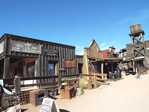 Goldfield Ghost TownPinal County
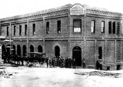 JeromeYavapai County
- IllustrationVulture CityMaricopa County
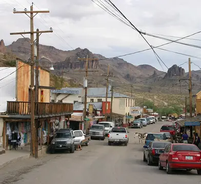 OatmanMohave County
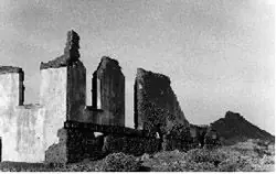 SwanseaLa Paz County
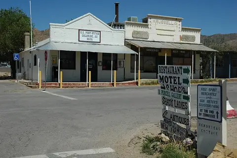 ChlorideMohave County
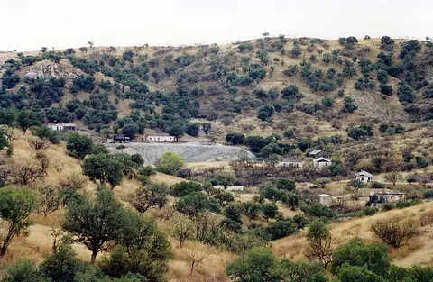 RubySanta Cruz County
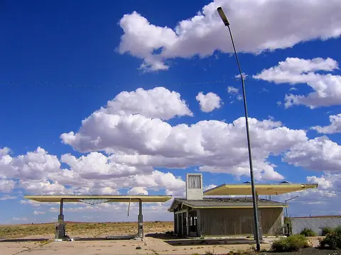 Two GunsCoconino County
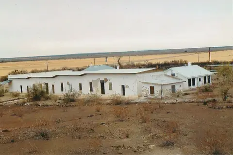 Agua CalienteMaricopa County
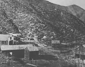 AlexandraYavapai County
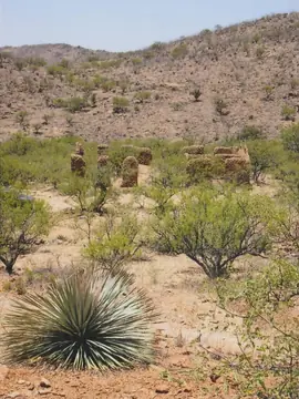 AltoSanta Cruz County
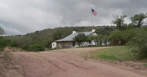 American FlagPinal County
Ghost towns near Phoenix · Ghost towns near Sedona · Ghost towns near Tucson · Ghost towns near Flagstaff · Ghost towns near Prescott · Ghost towns near Lake Havasu City
All 119 by county
Apache County 1
Cochise County 13
- Apache
- Cascabel
- Charlestonphoto
- Cochisephoto
- Contention Cityphoto
- Courtland
- Fairbankphoto
- Gleesonphoto
- Millvillephoto
- Paradisephoto
- Pearce
- Russellville
- Tres Alamos
Coconino County 6
- Anita
- Canyon Diablo
- House Rock
- Lee's Ferryphoto
- Twin Arrowsphoto
- Two Gunsphoto
Gila County 3
Graham County 5
Greenlee County 1
La Paz County 5
- Clip
- Drift Desert
- Empire Flat
- La Pazphoto
- Swanseaphoto
Maricopa County 6
- Agua Calientephoto
- Marinette
- Sentinelphoto
- Vulture City
- Vulture Minephoto
- Wranglers Roostphoto
Mohave County 14
Navajo County 5
- Brigham Cityphoto
- Obedphoto
- Sunset
- Wilfordphoto
- Zeniffphoto
Pima County 10
- Allen
- Cerro Colorado
- Helvetiaphoto
- Kentucky Campphoto
- Pantanophoto
- Redington
- San Rafael
- Silver Bellphoto
- Total Wreckphoto
- Twin Buttesphoto
Pinal County 12
- Adamsville
- American Flagphoto
- Cochranphoto
- Copper Creekphoto
- Goldfield Ghost Townphoto
- Pinal Cityphoto
- Rayphoto
- Reymertphoto
- Sacaton
- Sascophoto
- Tiger
- Youngbergphoto
Santa Cruz County 9
Yavapai County 18
- Alexandraphoto
- Big Bugphoto
- Bradshaw Cityphoto
- Bumble Beephoto
- Catoctin
- Cherryphoto
- Cleator
- Clemenceauphoto
- Cordes
- Crown Kingphoto
- Gillettphoto
- Jeromephoto
- Jerome Junction
- Octave
- Piedmont
- Stantonphoto
- Tip Topphoto
- Weaverphoto
Yuma County 11
Other states
- Alabama 51
- Alaska 36
- Arkansas 51
- California 240
- Colorado 141
- Connecticut 6
- Delaware 9
- Florida 111
- Georgia 82
- Hawaii 12
- Idaho 29
- Illinois 57
- Indiana 75
- Iowa 44
- Kansas 263
- Kentucky 19
- Louisiana 36
- Maine 4
- Maryland 22
- Massachusetts 11
- Michigan 36
- Minnesota 74
- Mississippi 83
- Missouri 306
- Montana 77
- Nebraska 66
- Nevada 216
- New Hampshire 4
- New Jersey 19
- New Mexico 69
- New York 8
- North Carolina 14
- North Dakota 37
- Ohio 59
- Oklahoma 108
- Oregon 165
- Pennsylvania 50
- Rhode Island 1
- South Carolina 18
- South Dakota 70
- Tennessee 18
- Texas 429
- Utah 137
- Vermont 2
- Virginia 17
- Washington 126
- West Virginia 123
- Wisconsin 99
- Wyoming 32