Haiwee Ghost Town
Inyo County, California36.1467, -117.9758
Can you visit?
Public land, open access
Ridgecrest Field Office · Open to visitors
- Nearest town
- 30 miLone Pine, CA
- Mild months
- Mar–Nov6 of 12
- Elevation
- 4,080 ft1,242 m

Haiwee is a former settlement in Inyo County, California, listed among the ghost towns of California. It lies at about 4,080 feet above sea level.
On the map
- BLM
- National Forest
- National Park Service
- City, county
- Military, DOE
- Private or unlisted
Star: Haiwee. Dots: other ghost towns within 40 miles, colored by land manager. Squares: towns over 1,000 people. Rings are straight-line distance. Live map: © OpenFreeMap, OpenMapTiles, OpenStreetMap contributors.
The closest town with more than 1,000 people is Lone Pine, CA, about 30 miles north in a straight line. The nearest city over 50,000 is Porterville, CA, 59 miles away.
Ghost towns nearby
- Dunmovin4.1 mi south
- Narka15 mi south
- Sodan15 mi south
- Little Lake15 mi south
- Coso19 mi east
- Darwin23 mi east
- Keeler24 mi north
- Swansea26 mi north
Distances are straight lines. Roads to ruins are often dirt, and a 20-mile hop can take an hour.
Who owns the land
BLM land: Ridgecrest Field Office
PAD-US places this spot on Ridgecrest Field Office, land managed by the Bureau of Land Management. PAD-US marks it as open to the public. Park rules, fees and seasonal closures can still apply.
The point is the town location from Wikidata, and the land record is from PAD-US 3.0 (USGS). Ruins can spread past that point, and land changes hands faster than the database. How we read PAD-US.
Weather by month
Mild months here run March to May, September to November, judging by NOAA normals from Haiwee. June to September bring 10 or more days at 90°F and up.
NOAA 1991–2020 normals from the Haiwee station (USC00043710), 1.4 miles away. About 6.1 inches of precipitation a year.
Facts
| Location | Inyo County, California |
|---|---|
| Coordinates | 36.14667, -117.97583 |
| Elevation | 4,080 ft (1,242 m) |
| Also known as | Haiwee, CA |
| Sources | Wikidata Q5639779 · Wikipedia article |
Questions
Where is Haiwee ghost town?
In Inyo County, California, at 36.1467, -117.9758. The closest town with more than 1,000 people is Lone Pine, CA, about 30 miles north in a straight line. The nearest city over 50,000 is Porterville, CA, 59 miles away.
Can you visit Haiwee?
Public land, open access. PAD-US places this spot on Ridgecrest Field Office, land managed by the Bureau of Land Management. PAD-US marks it as open to the public. Park rules, fees and seasonal closures can still apply.
When is the best time to visit Haiwee?
Mild months here run March to May, September to November, judging by NOAA normals from Haiwee. June to September bring 10 or more days at 90°F and up.
Are there other ghost towns near Haiwee?
Yes. Dunmovin (4.1 mi), Narka (15 mi), Sodan (15 mi), Little Lake (15 mi).
More ghost towns in California
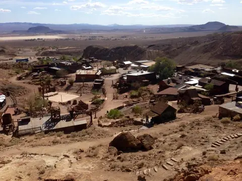 CalicoSan Bernardino County
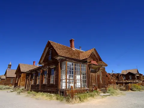 BodieMono County
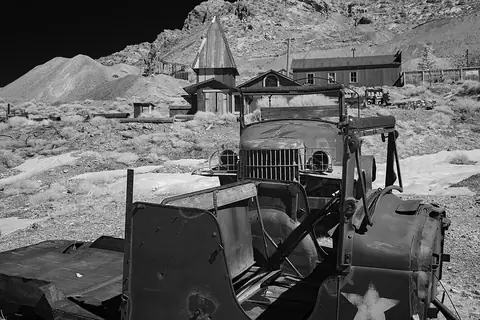 Cerro GordoInyo County
 IllustrationSilver CityTulare County
- IllustrationEagle MountainRiverside County
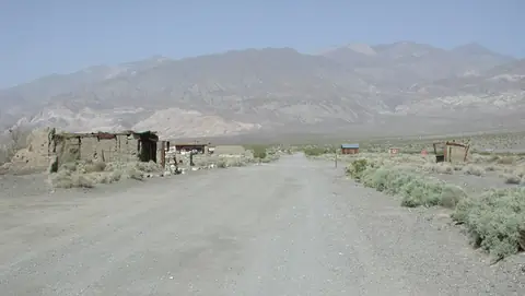 BallaratInyo County
 LeadfieldInyo County
 DrawbridgeAlameda County
All 240 ghost towns in California · Ghost towns near Bakersfield