Aguikchuk Ghost Town
Bethel Census Area, Alaska60.4744, -164.4353
Can you visit?
Public land, limited access
Yukon Delta National Wildlife Refuge · Permit, fee or season
- Nearest town
- 91 miHooper Bay, AK
- Next ghost town
- 103 miArolik

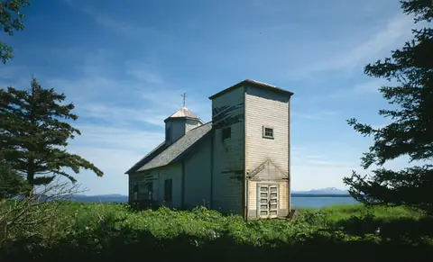
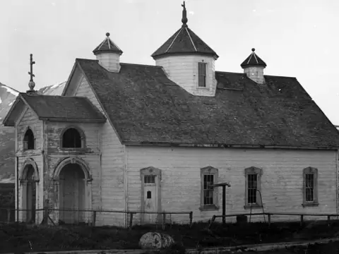
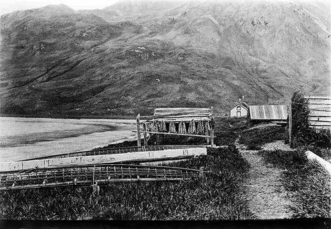
Aguikchuk is an abandoned town in Bethel Census Area, Alaska.
On the map
- Other federal
Star: Aguikchuk. Dots: other ghost towns within 40 miles, colored by land manager. Squares: towns over 1,000 people. Rings are straight-line distance. Live map: © OpenFreeMap, OpenMapTiles, OpenStreetMap contributors.
Who owns the land
Other federal land: Yukon Delta National Wildlife Refuge
PAD-US places this spot on Yukon Delta National Wildlife Refuge, land managed by the U.S. Fish and Wildlife Service. PAD-US marks access as restricted: expect a permit, a fee, set hours or a seasonal closure. Check with the manager before you go.
The point is the town location from Wikidata, and the land record is from PAD-US 3.0 (USGS). Ruins can spread past that point, and land changes hands faster than the database. How we read PAD-US.
Facts
| Location | Bethel Census Area, Alaska |
|---|---|
| Coordinates | 60.47444, -164.43528 |
| Sources | Wikidata Q85740139 · Wikipedia article |
Questions
Where is Aguikchuk ghost town?
In Bethel Census Area, Alaska, at 60.4744, -164.4353. The closest town with more than 1,000 people is Hooper Bay, AK, about 91 miles northwest in a straight line.
Can you visit Aguikchuk?
Public land, limited access. PAD-US places this spot on Yukon Delta National Wildlife Refuge, land managed by the U.S. Fish and Wildlife Service. PAD-US marks access as restricted: expect a permit, a fee, set hours or a seasonal closure. Check with the manager before you go.