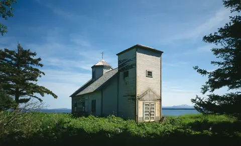
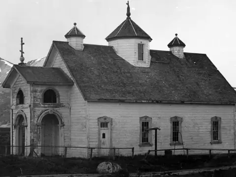
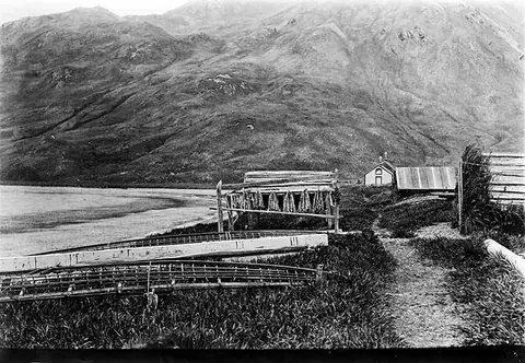
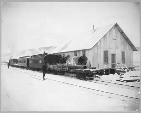
Iditarod Ghost Town
Yukon-Koyukuk Census Area, Alaska62.5444, -158.0953
Can you visit?
Public land, access not stated
State Tentatively Approved (tad) · Check before you go
- Nearest town
- 171 miBethel, AK
- Next ghost town
- 65 miOphir
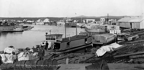
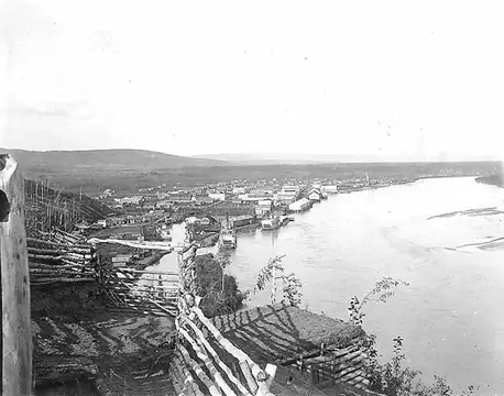
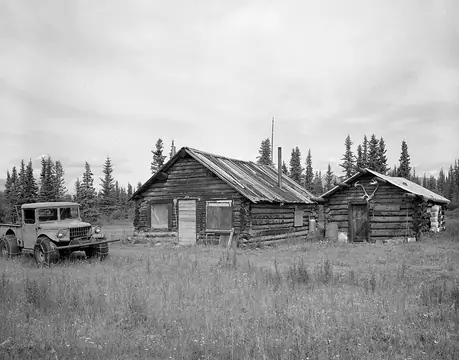
Iditarod is an abandoned town in Yukon-Koyukuk Census Area, Alaska.
On the map
- State
Star: Iditarod. Dots: other ghost towns within 40 miles, colored by land manager. Squares: towns over 1,000 people. Rings are straight-line distance. Live map: © OpenFreeMap, OpenMapTiles, OpenStreetMap contributors.
The closest town with more than 1,000 people is Bethel, AK, about 171 miles southwest in a straight line.
Ghost towns nearby
- Ophir65 mi northeast
- Kwigiumpainukamiut77 mi southwest
Distances are straight lines. Roads to ruins are often dirt, and a 20-mile hop can take an hour.
Who owns the land
State land: State Tentatively Approved (tad)
PAD-US places this spot on State Tentatively Approved (tad), land managed by the state natural resources agency. PAD-US does not say whether the public may enter, so check with the manager.
The point is the town location from Wikidata, and the land record is from PAD-US 3.0 (USGS). Ruins can spread past that point, and land changes hands faster than the database. How we read PAD-US.
Facts
| Location | Yukon-Koyukuk Census Area, Alaska |
|---|---|
| Coordinates | 62.54444, -158.09528 |
| Also known as | Iditarod, Alaska |
| Sources | Wikidata Q941791 · Wikipedia article |
Questions
Where is Iditarod ghost town?
In Yukon-Koyukuk Census Area, Alaska, at 62.5444, -158.0953. The closest town with more than 1,000 people is Bethel, AK, about 171 miles southwest in a straight line.
Can you visit Iditarod?
Public land, access not stated. PAD-US places this spot on State Tentatively Approved (tad), land managed by the state natural resources agency. PAD-US does not say whether the public may enter, so check with the manager.